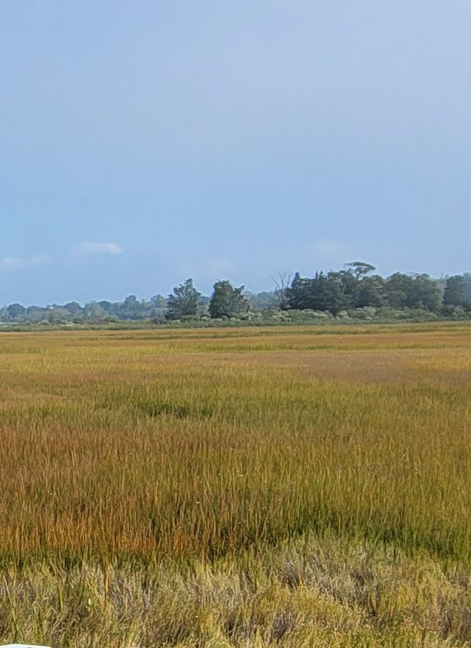
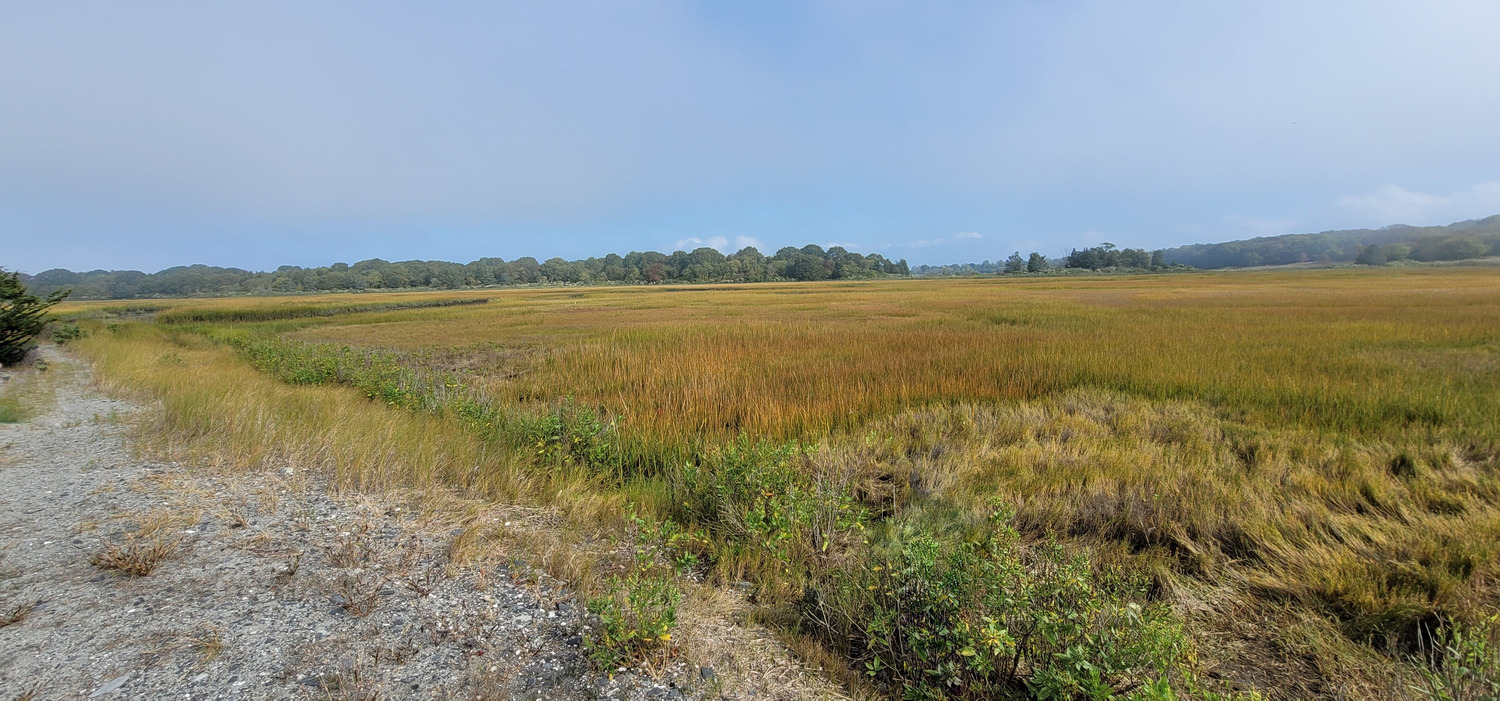
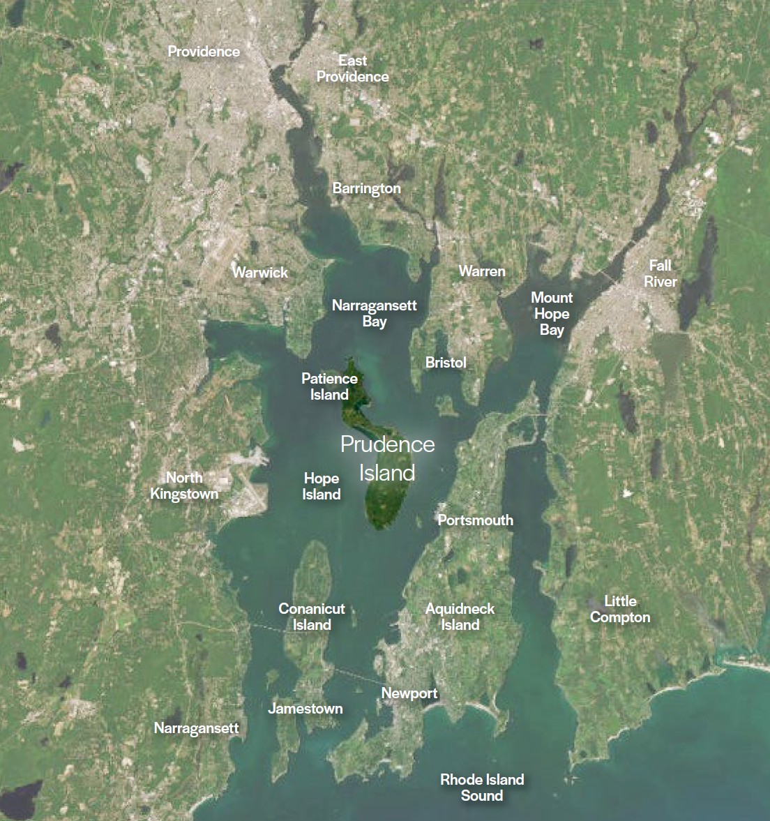
Prudence Island is central to the health of Narragansett Bay.
The Reserve encompasses much of Prudence Island and sits within the largest estuary in New England, making it a critical place to protect water quality, coastal habitats, and ecological systems that extend far beyond the island itself.
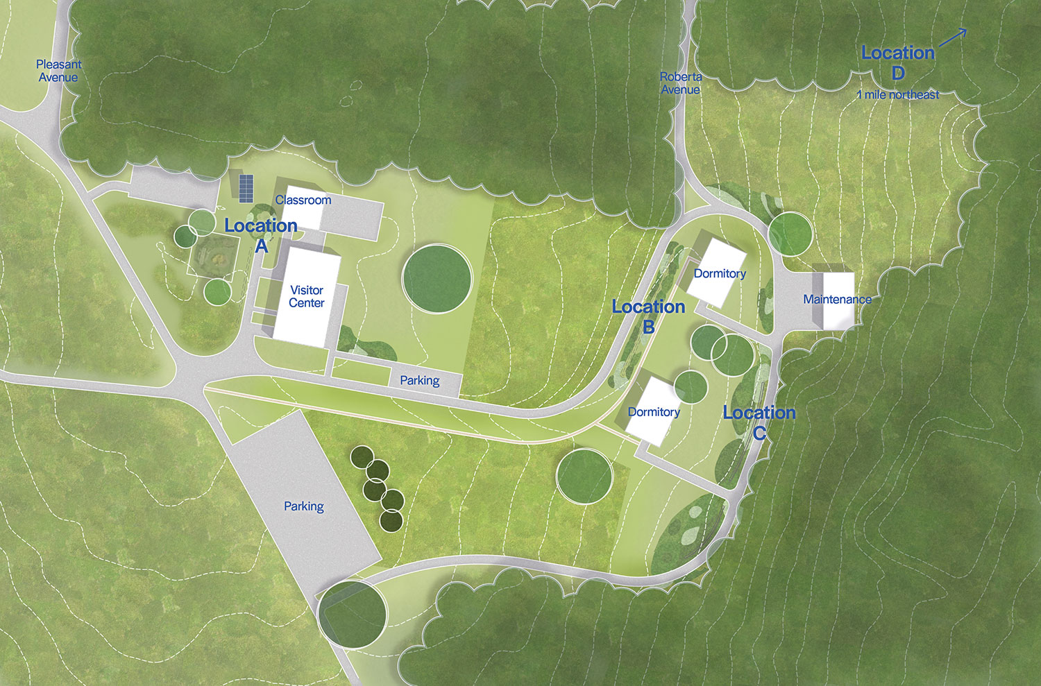
The team sought to mitigate stormwater flooding at four key locations on the Reserve.
Each intervention responds to local soil conditions, shallow groundwater, and surrounding habitats, minimizing disturbance while enhancing previously developed areas of the campus.
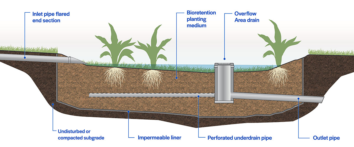
Location A
The bioretention area at Location A creates an adjacency to the classroom and research spaces, allowing close review of management and performance metrics.
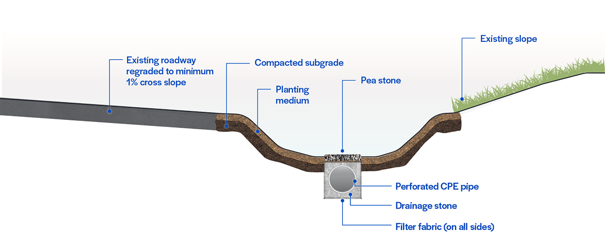
Location B
The swales at Location B capture, pretreat, and transport stormwater to the adjacent bioretention basin, minimizing roadway flooding and capturing sediment.
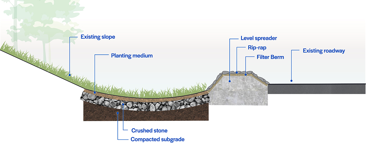
Location C
The swales and level spreaders at Location C reduce the volume and velocity of stormwater approaching the roadway from the roof and lawn areas.
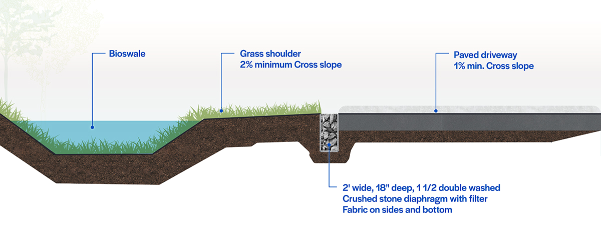
Location D
The bioswales along the side of the regraded roadway at Location D capture and treat runoff at the source, mitigating downstream flooding.
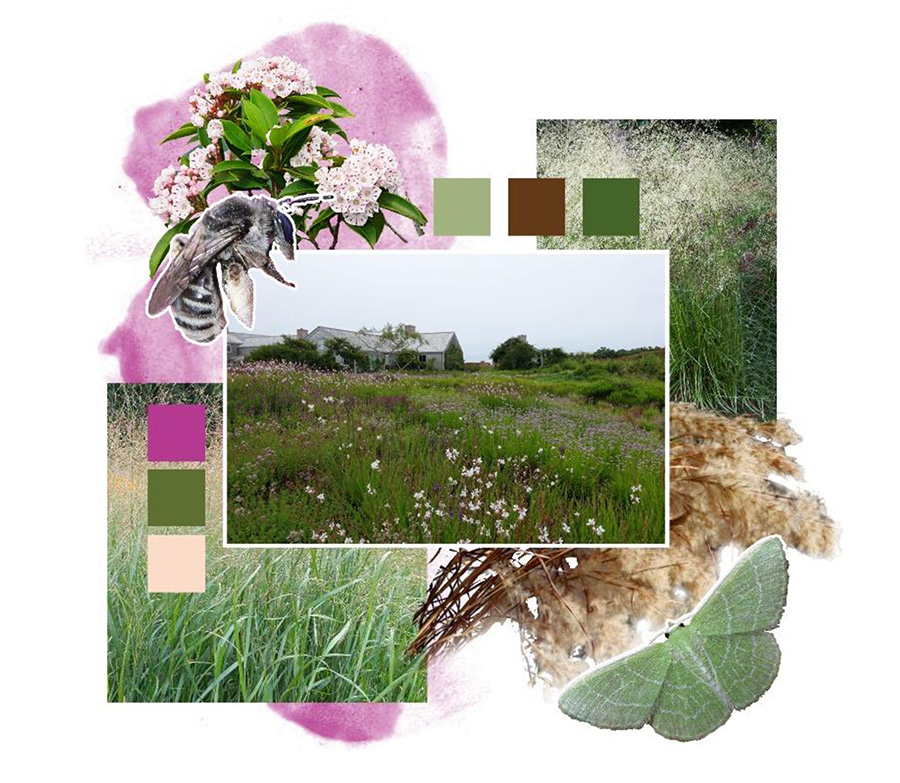
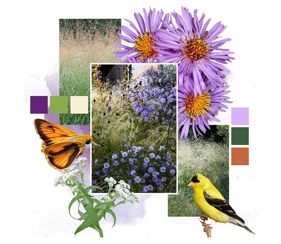
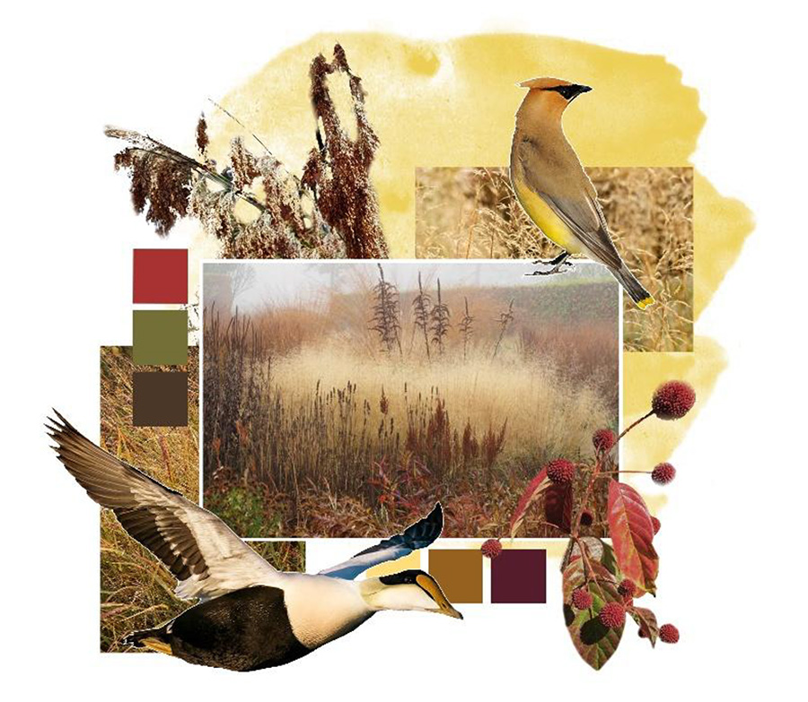
Native plantings strengthen habitat and resilience.
Carefully selected native trees, shrubs, and grasses support biodiversity, improve water quality, reduce erosion, and create landscapes that are both functional and seasonally expressive.